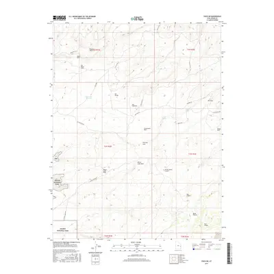
2017 Map of Cisco SW
USGS Topo · Published 2017About this map
Arches National Park defines the southwestern corner of this Grand County landscape, where the high desert terrain transitions into a complex system of ridges and washes. The northern reaches are characterized by the Monument Hills and the aptly named Poison Strip, an area historically associated with uranium mining. Settlement is sparse, represented by San Arroyo near the center of the sheet, while water management for ranching or industry is evidenced by the Yellow-Cat Reservoir.
Find a feature on this map
32 named features on this map. Tap any name to fly to it.
Don’t see what you’re looking for? This feature index may not catch every label — zoom into the map to look around manually.
Map Details
Editions of this 2017 Cisco SW Map
This is the sole edition of this map. No revisions or reprints were ever made.
Other maps of this area

1885 · La Sal
USGS Topo · 1:250,000

1954 · Mt. Waas 3 NE
USGS Topo · 1:24,000

1954 · Mt. Waas 3 NW
USGS Topo · 1:24,000

1954 · Castle Valley
USGS Topo · 1:62,500

1955 · Mt. Waas 2 SE
USGS Topo · 1:24,000

1956 · Moab
USGS Topo · 1:250,000

1958 · Thompson
USGS Topo · 1:62,500

1958 · Cisco
USGS Topo · 1:62,500

1959 · Moab
USGS Topo · 1:250,000
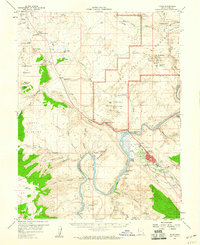
1959 · Moab
USGS Topo · 1:62,500