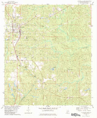
1982 Map of Citronelle East
USGS Topo · Published 1984About this map
Citronelle serves as the primary hub of this eastern Mobile County survey, where the Illinois Central Gulf railroad cuts through a landscape defined by natural resources and community infrastructure. The map reveals an extensive oil field and numerous gas wells interspersed among timbered tracts and local landmarks like the Langdon Lookout Tower. Local history is preserved in the clustering of community sites such as Bethlehem Ch, St Annes Ch, and the Convalescent Center.
Find a feature on this map
39 named features on this map. Tap any name to fly to it.
Don’t see what you’re looking for? This feature index may not catch every label — zoom into the map to look around manually.
Map Details
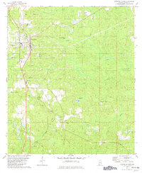
Editions of this 1982 Citronelle East Map
2 editions found
Other maps of this area

1941 · Creola
USGS Topo · 1:62,500

1942 · Deer Park
USGS Topo · 1:62,500

1942 · Wilmer
USGS Topo · 1:62,500

1943 · Creola
USGS Topo · 1:62,500

1943 · Deer Park
USGS Topo · 1:62,500

1943 · Citronelle
USGS Topo · 1:62,500

1944 · Wilmer
USGS Topo · 1:62,500

1946 · Citronelle
USGS Topo · 1:62,500

1953 · Hattiesburg
USGS Topo · 1:250,000

1953 · Mobile
USGS Topo · 1:250,000