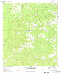
1982 Map of Citronelle West
USGS Topo · Published 1982About this map
The Esca Tawpa River winds through the western edge of this landscape on the border of Washington and Mobile counties. The area around Citronelle is defined by a mix of recreation and industry in the early 1980s, featuring the Oil City Speedway and an extensive Oil Field to the north and south. The terrain is crisscrossed by several named rural routes, including Beverly Road and Jefferies Road, which connect various family-named landmarks and rural congregations.
Find a feature on this map
35 named features on this map. Tap any name to fly to it.
Don’t see what you’re looking for? This feature index may not catch every label — zoom into the map to look around manually.
Map Details
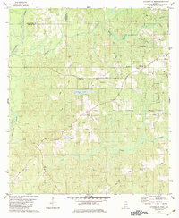
Editions of this 1982 Citronelle West Map
2 editions found
Other maps of this area

1941 · Creola
USGS Topo · 1:62,500

1942 · Deer Park
USGS Topo · 1:62,500

1942 · Wilmer
USGS Topo · 1:62,500

1943 · Creola
USGS Topo · 1:62,500

1943 · Deer Park
USGS Topo · 1:62,500

1943 · Citronelle
USGS Topo · 1:62,500

1944 · Wilmer
USGS Topo · 1:62,500

1946 · Citronelle
USGS Topo · 1:62,500

1953 · Hattiesburg
USGS Topo · 1:250,000

1953 · Mobile
USGS Topo · 1:250,000