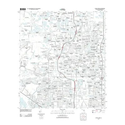
2012 Map of Citrus Park
USGS Topo · Published 2012About this map
Town of Citrus Park and the surrounding Hillsborough County landscape appear here in 2012 as a dense network of residential subdivisions and pocketed lakes. The terrain is defined by its hydrology, with dozens of named water bodies like Lake Josephine, Halfmoon Lake, and Keystone Lake interspersed between modern developments. While the area shows significant suburban growth, specific aviation history is visible at Broady Airport, and regional utility infrastructure is represented by the Hillsborough County Dale Mabry Advanced Wastewater Treatment Facility.
Find a feature on this map
494 named features on this map. Tap any name to fly to it.
Don’t see what you’re looking for? This feature index may not catch every label — zoom into the map to look around manually.
Map Details
Editions of this 2012 Citrus Park Map
This is the sole edition of this map. No revisions or reprints were ever made.
Other maps of this area

1921 · Tampa
USGS Topo · 1:62,500

1921 · St Petersburg
USGS Topo · 1:62,500

1943 · Gandy Bridge
USGS Topo · 1:31,680

1943 · Safety Harbor
USGS Topo · 1:31,680

1943 · Odessa
USGS Topo · 1:24,000

1943 · Elfers
USGS Topo · 1:24,000

1943 · Lutz
USGS Topo · 1:24,000

1943 · Oldsmar
USGS Topo · 1:24,000

1944 · Sulphur Springs
USGS Topo · 1:31,680

1944 · Tampa
USGS Topo · 1:31,680