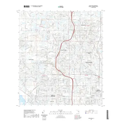
2021 Map of Citrus Park
USGS Topo · Published 2021About this map
Citrus Park and the sprawling residential communities of northwest Hillsborough County are meticulously charted in this recent topographical study. The landscape is defined by its remarkable density of small lakes and water bodies, including Lake Josephine, Sunshine Lake, and the expansive Lake Rogers Park. These natural features are interwoven with established suburban developments like Carrollwood, Northdale, and Westchase. The map reveals the intricate neighborhood street networks that have transformed former citrus groves and ranch lands into a key part of the Tampa metropolitan area.
Find a feature on this map
424 named features on this map. Tap any name to fly to it.
Don’t see what you’re looking for? This feature index may not catch every label — zoom into the map to look around manually.
Map Details
Editions of this 2021 Citrus Park Map
This is the sole edition of this map. No revisions or reprints were ever made.
Other maps of this area

1921 · Tampa
USGS Topo · 1:62,500

1921 · St Petersburg
USGS Topo · 1:62,500

1943 · Gandy Bridge
USGS Topo · 1:31,680

1943 · Safety Harbor
USGS Topo · 1:31,680

1943 · Odessa
USGS Topo · 1:24,000

1943 · Elfers
USGS Topo · 1:24,000

1943 · Lutz
USGS Topo · 1:24,000

1943 · Oldsmar
USGS Topo · 1:24,000

1944 · Sulphur Springs
USGS Topo · 1:31,680

1944 · Tampa
USGS Topo · 1:31,680