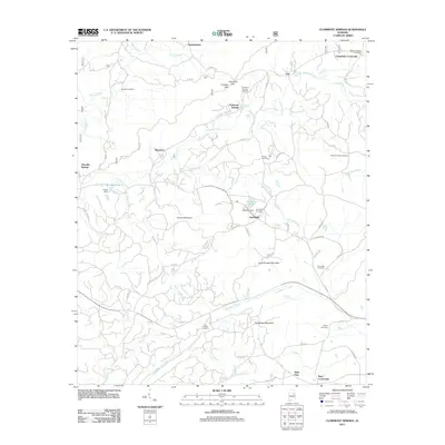
2011 Map of Clairmont Springs
USGS Topo · Published 2011About this map
Clairmont Springs and the surrounding ridgelines of the Talladega National Forest define this landscape in the early twenty-first century. The topography is anchored by significant elevations such as London Mountain, Lizard Scrape Mountain, and Poe Bridge Mountain, which dictate the winding paths of rural routes like Antioch Rd and Idaho Rd. This area is characterized by scattered small settlements and crossroads like Springhill, Gunthertown, and Erin, reflecting a long-standing pattern of mountain-valley habitation.
Find a feature on this map
63 named features on this map. Tap any name to fly to it.
Don’t see what you’re looking for? This feature index may not catch every label — zoom into the map to look around manually.
Map Details
Editions of this 2011 Clairmont Springs Map
This is the sole edition of this map. No revisions or reprints were ever made.
Other maps of this area

1890 · Talladega
USGS Topo · 1:125,000

1891 · Ashland
USGS Topo · 1:125,000

1892 · Talladega
USGS Topo · 1:125,000

1943 · Talladega
USGS Topo · 1:62,500

1944 · Goodwater
USGS Topo · 1:62,500

1946 · Talladega
USGS Topo · 1:62,500

1947 · Goodwater
USGS Topo · 1:62,500

1953 · Birmingham
USGS Topo · 1:250,000

1953 · Atlanta
USGS Topo · 1:250,000

1956 · Birmingham
USGS Topo · 1:250,000