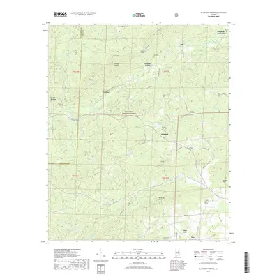
2018 Map of Clairmont Springs
USGS Topo · Published 2018About this map
Talladega Mountain anchors the high ground of this Clay County landscape, where the ridges of the Talladega National Forest dominate the central terrain. Settled pockets like Clairmont Springs and Chandler Springs are connected by a network of rural routes including Skyline Dr and Clairmont Springs Rd. The map reveals a history of local industry and community life, marked by Gold Mines along Gold Mines Cr and numerous family and community burial sites such as Springhill Cem and Old Noles Cem. The southern reach is defined by the winding course of Enitachopco Cr and the heights of Poe Bridge Mtn, while the northeast corner shows the intersection of local life at Campbells Crossroads and the settlement of Erin.
Find a feature on this map
77 named features on this map. Tap any name to fly to it.
Don’t see what you’re looking for? This feature index may not catch every label — zoom into the map to look around manually.
Map Details
Editions of this 2018 Clairmont Springs Map
This is the sole edition of this map. No revisions or reprints were ever made.
Other maps of this area

1890 · Talladega
USGS Topo · 1:125,000

1891 · Ashland
USGS Topo · 1:125,000

1892 · Talladega
USGS Topo · 1:125,000

1943 · Talladega
USGS Topo · 1:62,500

1944 · Goodwater
USGS Topo · 1:62,500

1946 · Talladega
USGS Topo · 1:62,500

1947 · Goodwater
USGS Topo · 1:62,500

1953 · Birmingham
USGS Topo · 1:250,000

1953 · Atlanta
USGS Topo · 1:250,000

1956 · Birmingham
USGS Topo · 1:250,000