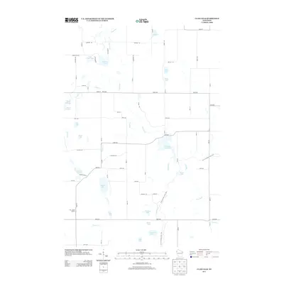
2013 Map of Clam Falls
USGS Topo · Published 2013About this map
The Clam River meanders through this Polk County landscape, feeding into significant water bodies like the Clam Falls Flowage 65 and Knapp Flowage 7. This 2013 survey illustrates a region defined by its glacial heritage, most notably marked by the Ice Age National Scenic Trail as it winds northward past Margaret Lake and Crooked Lake. The terrain is punctuated by numerous kettle lakes, including Godfrey Lake, Somers Lake, and the smaller Briar Lake, which speak to the area's geological history.
Find a feature on this map
63 named features on this map. Tap any name to fly to it.
Don’t see what you’re looking for? This feature index may not catch every label — zoom into the map to look around manually.
Map Details
Editions of this 2013 Clam Falls Map
This is the sole edition of this map. No revisions or reprints were ever made.
Other maps of this area
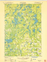
1949 · Hertel
USGS Topo · 1:48,000
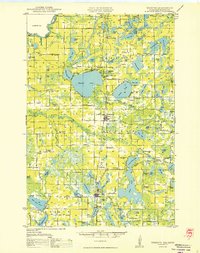
1950 · Webster
USGS Topo · 1:48,000
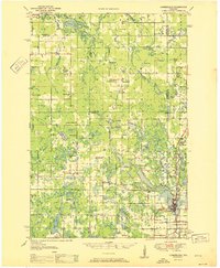
1951 · Cumberland
USGS Topo · 1:48,000

1951 · Frederic
USGS Topo · 1:48,000

1953 · Stillwater
USGS Topo · 1:250,000
1955 · Hertel
USGS Topo · 1:62,500
1955 · Webster
USGS Topo · 1:62,500
1955 · Frederic
USGS Topo · 1:62,500

1955 · Stillwater
USGS Topo · 1:250,000
1956 · Cumberland
USGS Topo · 1:62,500