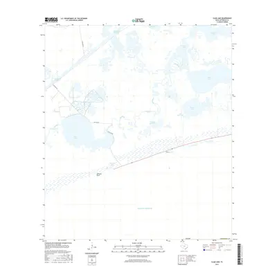
2016 Map of Clam Lake
USGS Topo · Published 2016About this map
McFaddin Beach stretches along the southern edge of this Jefferson County coastal landscape where the land meets the Gulf of Mexico. The area is defined by an intricate network of marshes and brackish water bodies, centered on Clam Lake and the meandering path of Salt Bayou. This region is a critical transit corridor, dominated by the engineered straightness of the Intracoastal Waterway in the north and a series of local access routes including Clam Lake Rd and Park Rd.
Find a feature on this map
19 named features on this map. Tap any name to fly to it.
Don’t see what you’re looking for? This feature index may not catch every label — zoom into the map to look around manually.
Map Details
Editions of this 2016 Clam Lake Map
This is the sole edition of this map. No revisions or reprints were ever made.
Other maps of this area

1943 · Port Arthur South
USGS Topo · 1:24,000

1944 · Sabine Pass
USGS Topo · 1:31,680

1950 · Houston
USGS Topo · 1:250,000

1954 · Port Arthur
USGS Topo · 1:250,000

1956 · Houston
USGS Topo · 1:250,000
1956 · Port Arthur
USGS Topo · 1:250,000
1957 · Sabine Pass
USGS Topo · 1:62,500
1957 · Sabine Pass
USGS Topo · 1:24,000
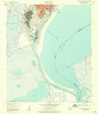
1957 · Port Arthur South
USGS Topo · 1:24,000
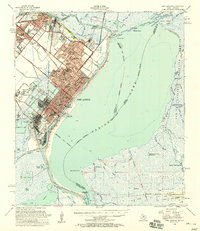
1957 · Port Arthur
USGS Topo · 1:62,500