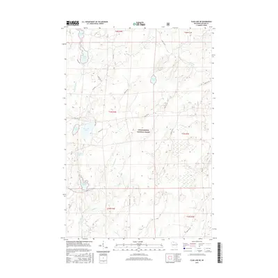
2015 Map of Clam Lake NE
USGS Topo · Published 2015About this map
Chequamegon National Forest defines the landscape of this 2015 survey, where a dense network of glacial lakes and rivers dominates the Northwoods of Ashland County. The map provides a detailed view of the regional hydrology, tracing the Brunsweiler River as it winds near Spider Lake and the distinctive Dead Horse Slough. This area is characterized by its complex water systems, including the headwaters and tributaries of the Iron River, Moose River, and the East and West Torch River.
Find a feature on this map
33 named features on this map. Tap any name to fly to it.
Don’t see what you’re looking for? This feature index may not catch every label — zoom into the map to look around manually.
Map Details
Editions of this 2015 Clam Lake NE Map
This is the sole edition of this map. No revisions or reprints were ever made.
Other maps of this area

1942 · Glidden
USGS Topo · 1:48,000

1942 · Clam Lake
USGS Topo · 1:48,000

1942 · Mellen
USGS Topo · 1:48,000

1942 · Marengo
USGS Topo · 1:48,000

1945 · Marengo
USGS Topo · 1:48,000

1945 · Clam Lake
USGS Topo · 1:48,000

1945 · Glidden
USGS Topo · 1:48,000

1945 · Mellen
USGS Topo · 1:48,000

1953 · Ashland
USGS Topo · 1:250,000
1956 · Mellen
USGS Topo · 1:24,000