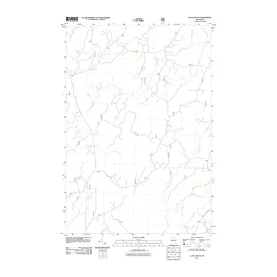
2011 Map of Clam Lake SE
USGS Topo · Published 2011About this map
The East Fork Chippewa River and its numerous tributaries dominate this Northern Wisconsin landscape within the Chequamegon-Nicolet National Forest. This 2011 survey reveals a territory defined by its complex hydrology, where the West Torch River and East Torch River converge amidst a dense network of forest service roads. The map's detail is particularly useful for understanding the historic and modern accessibility of this timber-rich region, tracing routes like Stock Farm Rd and Berchem Rd as they navigate the drainages of Black Creek and Fishtrap Creek. The concentration of named waterways, including the winding Moose River and Hungry Run, indicates a low-lying, riparian environment characteristic of the Ashland County highlands. Local researchers can use this record to identify specific forest intersections and water crossings, such as those along the Birkholtz Cut-Off Rd.
Find a feature on this map
14 named features on this map. Tap any name to fly to it.
Don’t see what you’re looking for? This feature index may not catch every label — zoom into the map to look around manually.
Map Details
Editions of this 2011 Clam Lake SE Map
This is the sole edition of this map. No revisions or reprints were ever made.
Other maps of this area

1941 · Kennedy
USGS Topo · 1:48,000

1942 · Glidden
USGS Topo · 1:48,000

1942 · Clam Lake
USGS Topo · 1:48,000

1944 · Draper
USGS Topo · 1:48,000

1945 · Kennedy
USGS Topo · 1:48,000

1945 · Clam Lake
USGS Topo · 1:48,000

1945 · Glidden
USGS Topo · 1:48,000

1947 · Draper
USGS Topo · 1:48,000

1953 · Ashland
USGS Topo · 1:250,000

1953 · Rice Lake
USGS Topo · 1:250,000