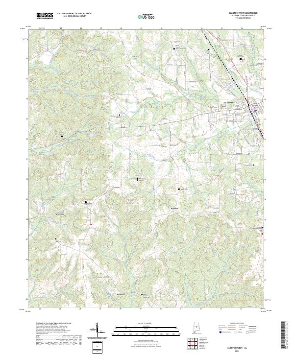
2024 Map of Clanton West
USGS Topo · Published 2024About this map
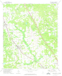
The Chilton County Courthouse in Clanton serves as the central hub of this West Alabama landscape, where the town's residential expansion meets a complex network of rural cemeteries and creek drainages. To the west and south, the terrain is defined by the winding paths of Little Mulberry Creek, Bear Creek, and Chestnut Creek, with the unincorporated community of Highland situated among the high ground between these water systems. This area is particularly notable for its high density of family and congregational burial grounds, such as Old Liberty Hill Cem and the Pleasant Grove Methodist Cem. In the southern reaches, the settlement of Kincheon is positioned near Kincheon Creek and Shiloh Baptist Church, illustrating a classic Southern pattern of rural life clustered around local churches and the many branches of the Swift Creek watershed.
Find a feature on this map
132 named features on this map. Tap any name to fly to it.
Don’t see what you’re looking for? This feature index may not catch every label — zoom into the map to look around manually.
Map Details
Editions of this 2024 Clanton West Map
This is the sole edition of this map. No revisions or reprints were ever made.
Other maps of this area

1891 · Clanton
USGS Topo · 1:125,000

1953 · Montgomery
USGS Topo · 1:250,000

1956 · Montgomery
USGS Topo · 1:250,000

1957 · Montgomery
USGS Topo · 1:250,000

1959 · Plantersville
USGS Topo · 1:62,500

1959 · Billingsley
USGS Topo · 1:62,500
1971 · Lay Dam
USGS Topo · 1:24,000
1971 · Maplesville East
USGS Topo · 1:24,000
1971 · Jemison West
USGS Topo · 1:24,000
1971 · Jemison East
USGS Topo · 1:24,000