
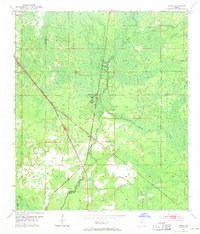
1954 Map of Clara
USGS Topo · Published 1955About this map
The Steinhatchee River cuts a prominent path through this 1954 landscape, marking a boundary where Taylor, Lafayette, and Dixie counties meet. This region in the mid-1950s was defined by its water-rich geography, featuring numerous named drainages like Kettle Creek, Mud Creek, and the curiously named Rocky Boggy Creek. The small settlements of Clara and Tennille serve as the primary human outposts, positioned along the industrial artery of the Atlantic Coast Line railroad. Local geography is further distinguished by natural features such as Steinhatchee Spring and Iron Spring, which hint at the hydrological character of the Florida Big Bend. A Gaging Station on the river indicates the importance of monitoring these waterways in an era when logging and transport relied heavily on the seasonal flow of the river system.
Find a feature on this map
16 named features on this map. Tap any name to fly to it.
Don’t see what you’re looking for? This feature index may not catch every label — zoom into the map to look around manually.
Map Details
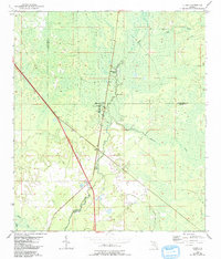
Editions of this 1954 Clara Map
3 editions found
Other maps of this area

1954 · Mallory Swamp NW
USGS Topo · 1:24,000

1954 · Cross City West
USGS Topo · 1:24,000

1954 · Salem SW
USGS Topo · 1:24,000

1954 · Mallory Swamp SW
USGS Topo · 1:24,000

1954 · Jena
USGS Topo · 1:24,000

1954 · Cooks Hammock
USGS Topo · 1:24,000

1954 · Salem
USGS Topo · 1:24,000

1954 · Steinhatchee
USGS Topo · 1:24,000

1954 · Gainesville
USGS Topo · 1:250,000
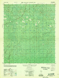
1956 · Mallory Swamp NW
USGS Topo · 1:25,000