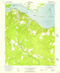
1954 Map of Claremont
USGS Topo · Published 1957About this map
The James River frontage and its tidal tributaries dominate this mid-century survey of the Surry County shoreline. At the heart of the map, the town of Claremont sits atop the river bluffs, its street grid and the Ritchie Memorial Ch overlooking the Claremont Wharf area. This maritime focus is echoed across the water at Tettington and Brandon Point, where the Chippokes Creek marks the boundary with Prince George County.
Find a feature on this map
36 named features on this map. Tap any name to fly to it.
Don’t see what you’re looking for? This feature index may not catch every label — zoom into the map to look around manually.
Map Details
Editions of this 1954 Claremont Map
This is the sole edition of this map. No revisions or reprints were ever made.
Other maps of this area

1917 · Toano
USGS Topo · 1:62,500

1918 · Charles City
USGS Topo · 1:62,500

1918 · Toano
USGS Topo · 1:62,500

1919 · Surry
USGS Topo · 1:62,500

1919 · Disputanta
USGS Topo · 1:62,500

1943 · Savedge
USGS Topo · 1:31,680

1943 · Richmond
USGS Topo · 1:250,000

1944 · Waverly
USGS Topo · 1:31,680

1949 · Richmond
USGS Topo · 1:250,000
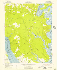
1952 · Brandon
USGS Topo · 1:24,000