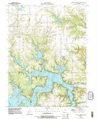
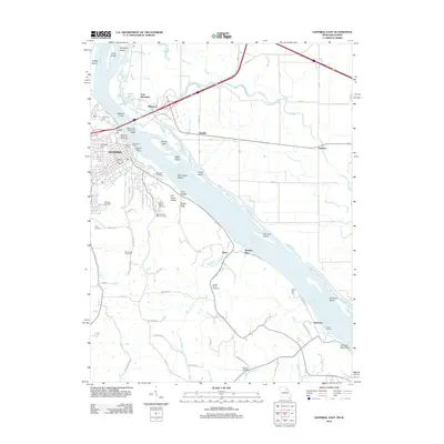
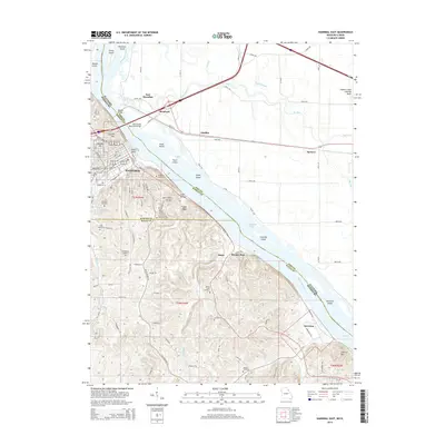
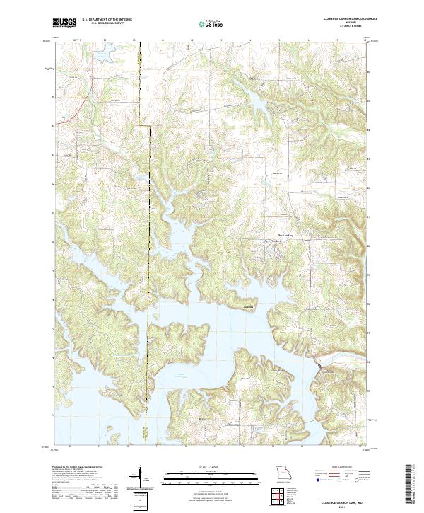
1990 Map of Clarence Cannon Dam
USGS Topo · Published 1995About this map
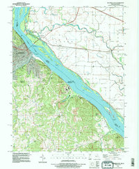
The Mark Twain Lake reservoir dominates this landscape, created by the massive Clarence Cannon Dam across the Salt River. This 1990 revision, based on cooperation with the U.S. Corps of Engineers, shows the flooded valleys where the river once wound through Ralls and Monroe counties. The intricate shoreline now covers much of the drainage area for Little Indian Creek and Madden Branch, though smaller upland features remain visible.
Find a feature on this map
14 named features on this map. Tap any name to fly to it.
Don’t see what you’re looking for? This feature index may not catch every label — zoom into the map to look around manually.
Map Details
Editions of this 1990 Clarence Cannon Dam Map
This is the sole edition of this map. No revisions or reprints were ever made.
Historical Maps of The Landing Through Time
23 maps found
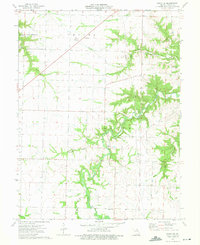
1959 Joanna
Ralls County, MO
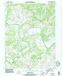
1971 Hannibal East
Ralls County, MO
1971 Hannibal SE
Ralls County, MO
1973 Perry NE
Ralls County, MO
1990 Clarence Cannon Dam
Ralls County, MO
1991 Hannibal SE
Ralls County, MO
1993 Hannibal East
Ralls County, MO
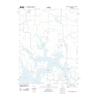
2012 Clarence Cannon Dam
Ralls County, MO
2012 Hannibal East
Ralls County, MO
2012 Hannibal SE
Ralls County, MO
2012 Perry NE
Ralls County, MO
2014 Clarence Cannon Dam
Ralls County, MO
2014 Hannibal East
Ralls County, MO
2015 Hannibal SE
Ralls County, MO
2015 Perry NE
Ralls County, MO
2017 Clarence Cannon Dam
Ralls County, MO
2017 Hannibal East
Ralls County, MO
2017 Hannibal SE
Ralls County, MO
2017 Perry NE
Ralls County, MO
2021 Clarence Cannon Dam
Ralls County, MO
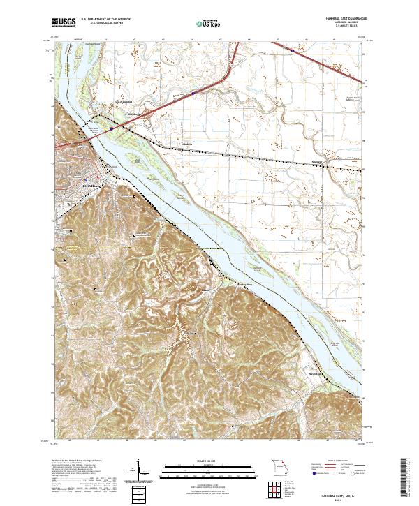
2021 Hannibal East
Ralls County, MO
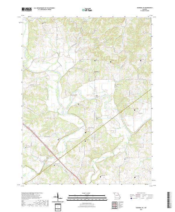
2021 Hannibal SE
Ralls County, MO
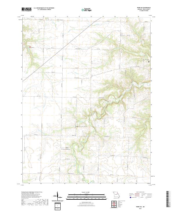
2021 Perry NE
Ralls County, MO