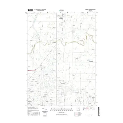
2016 Map of Clarence Center
USGS Topo · Published 2016About this map
Tonawanda Creek winds across this Western New York landscape, defining the meandering boundary between Niagara and Erie counties. This modern survey illustrates the suburban character of Amherst and Clarence Center, where residential developments like Woodstream Farms and North Forest Acres neighbor older crossroads like Swormville and Millersport. Aviation history is prominent with several small airfields, including the North Buffalo Suburban Airport and Clarence Aerodrome, scattered among the suburban blocks and remaining agricultural plots.
Find a feature on this map
171 named features on this map. Tap any name to fly to it.
Don’t see what you’re looking for? This feature index may not catch every label — zoom into the map to look around manually.
Map Details
Editions of this 2016 Clarence Center Map
This is the sole edition of this map. No revisions or reprints were ever made.
Other maps of this area

1894 · Buffalo
USGS Topo · 1:62,500

1897 · Tonawanda
USGS Topo · 1:62,500

1897 · Lockport
USGS Topo · 1:62,500

1899 · Niagara
USGS Topo · 1:125,000

1900 · Tonawanda
USGS Topo · 1:62,500

1901 · Buffalo
USGS Topo · 1:62,500

1901 · Tonawanda
USGS Topo · 1:62,500

1902 · Lockport
USGS Topo · 1:62,500

1905 · Depew
USGS Topo · 1:62,500

1905 · Lockport
USGS Topo · 1:62,500