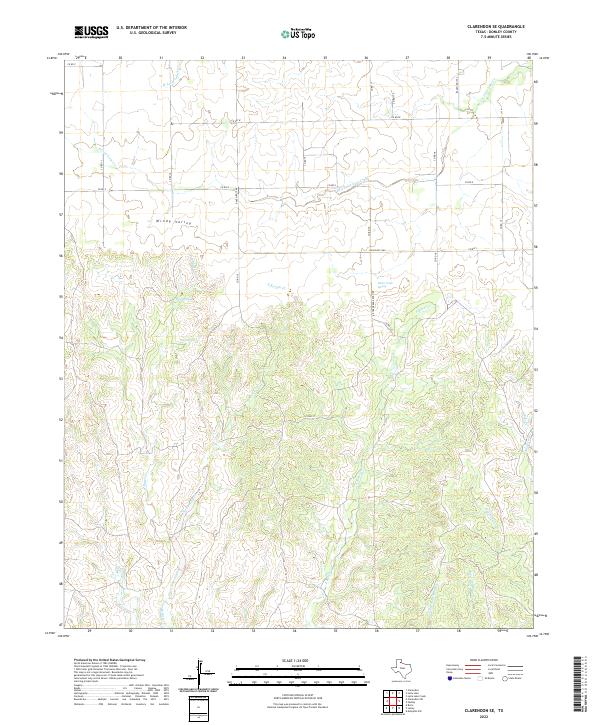
2022 Map of Clarendon SE
USGS Topo · Published 2022About this map
Windy Valley provides a distinct geographic anchor for this portion of the Texas Panhandle, where the high plains begin to break into the complex drainage systems of the Red River watershed. This landscape is defined by its water sources, including West Spring, East Spring, and the critical Bitter Creek Spring, which have long served as vital points in an otherwise arid cattle-ranching environment. The map details the intricate network of local ranch roads, such as Bitter Creek Ranch Rd and Ranch Rd 1260, that connect isolated holdings across the rolling breaks.
Find a feature on this map
33 named features on this map. Tap any name to fly to it.
Don’t see what you’re looking for? This feature index may not catch every label — zoom into the map to look around manually.
Map Details
Editions of this 2022 Clarendon SE Map
This is the sole edition of this map. No revisions or reprints were ever made.
Other maps of this area

1954 · Plainview
USGS Topo · 1:250,000

1958 · Plainview
USGS Topo · 1:250,000

1959 · Lelia Lake Creek
USGS Topo · 1:24,000

1960 · Brice
USGS Topo · 1:62,500

1961 · Memphis
USGS Topo · 1:62,500

1962 · Lelia Lake
USGS Topo · 1:24,000

1963 · Hedley
USGS Topo · 1:24,000

1963 · Clarendon
USGS Topo · 1:24,000

1963 · Clarendon SE
USGS Topo · 1:24,000

1963 · Clarendon SW
USGS Topo · 1:24,000