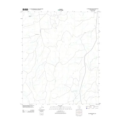
2012 Map of Clarendon SW
USGS Topo · Published 2012About this map
The Soil Conservation Service Site 1 Reservoir anchors the southern portion of this Donley County landscape, illustrating 21st-century water management in the Texas Panhandle. The terrain is defined by an intricate network of drainage systems, including the southward-reaching forks of Troublesome Cr, Cottonwood Cr, and Big Sandy Cr. These intermittent watercourses suggest a landscape shaped by seasonal flow and the necessity of erosion control. Transportation in this ranching country is primarily facilitated by state-maintained routes like Ranch Road 2162 and Ranch Road 2272, which connect the open rangeland between the draws of Betty Cr and Brushy Cr. This survey captures the rural character of the region where land use remains closely tied to the natural hydrology of the Rolling Plains.
Find a feature on this map
13 named features on this map. Tap any name to fly to it.
Don’t see what you’re looking for? This feature index may not catch every label — zoom into the map to look around manually.
Map Details
Editions of this 2012 Clarendon SW Map
This is the sole edition of this map. No revisions or reprints were ever made.
Other maps of this area

1954 · Plainview
USGS Topo · 1:250,000

1958 · Plainview
USGS Topo · 1:250,000

1960 · Indian Peak
USGS Topo · 1:62,500

1960 · Brice
USGS Topo · 1:62,500

1962 · Lelia Lake
USGS Topo · 1:24,000

1963 · Clarendon
USGS Topo · 1:24,000

1963 · Buffalo Arroyo
USGS Topo · 1:24,000

1963 · Clarendon SE
USGS Topo · 1:24,000

1963 · Tate Arroyo
USGS Topo · 1:24,000

1963 · Clarendon SW
USGS Topo · 1:24,000