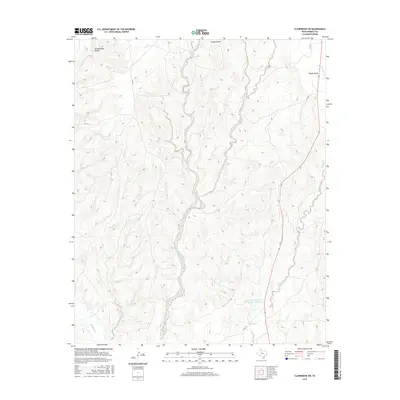
2016 Map of Clarendon SW
USGS Topo · Published 2016About this map
Troublesome Canyon and the high ground of Gunboat Mtn define this stretch of the Texas Panhandle in Donley County. The landscape is carved by a complex drainage system where Cottonwood Creek and Little Sandy Creek flow through the central portion of the quadrangle. Modern land management is visible through the Soil Conservation Service Site 1 Reservoir, which sits near Brushy Creek in the southern reaches. The map captures a largely rural cattle-and-creek landscape during the mid-2010s, showing the intersection of local routes like Co RD X and Co RD 7 with the natural topography of Windy Valley. This survey provides a clear view of the water sources essential to this region, including Betty Cr and Mulberry Cr.
Find a feature on this map
16 named features on this map. Tap any name to fly to it.
Don’t see what you’re looking for? This feature index may not catch every label — zoom into the map to look around manually.
Map Details
Editions of this 2016 Clarendon SW Map
This is the sole edition of this map. No revisions or reprints were ever made.
Other maps of this area

1954 · Plainview
USGS Topo · 1:250,000

1958 · Plainview
USGS Topo · 1:250,000

1960 · Indian Peak
USGS Topo · 1:62,500

1960 · Brice
USGS Topo · 1:62,500

1962 · Lelia Lake
USGS Topo · 1:24,000

1963 · Clarendon
USGS Topo · 1:24,000

1963 · Buffalo Arroyo
USGS Topo · 1:24,000

1963 · Clarendon SE
USGS Topo · 1:24,000

1963 · Tate Arroyo
USGS Topo · 1:24,000

1963 · Clarendon SW
USGS Topo · 1:24,000