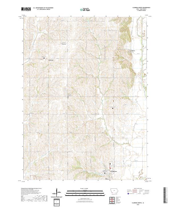
2022 Map of Clarinda North
USGS Topo · Published 2022About this map
Clarinda anchors the southeastern corner of this Page County landscape, where the West Nodaway River and N Br W Nodaway River converge. The terrain is defined by a dendritic drainage pattern of small creeks including E Tarkio Cr, Snake Cr, and Neele Br that carve through the agricultural uplands. Smaller settlements like Bethesda and Hepburn are connected by a rigid grid of rural roads such as Co Hwy M63 and 150 St, which frame the agricultural sections.
Find a feature on this map
45 named features on this map. Tap any name to fly to it.
Don’t see what you’re looking for? This feature index may not catch every label — zoom into the map to look around manually.
Map Details
Editions of this 2022 Clarinda North Map
This is the sole edition of this map. No revisions or reprints were ever made.
Other maps of this area

1940 · Coin
USGS Topo · 1:62,500

1940 · New Market
USGS Topo · 1:62,500

1943 · Coin
USGS Topo · 1:62,500

1943 · New Market
USGS Topo · 1:62,500

1955 · Nebraska City
USGS Topo · 1:250,000

1957 · Nebraska City
USGS Topo · 1:250,000

1958 · Nebraska City
USGS Topo · 1:250,000

1978 · Stanton
USGS Topo · 1:24,000

1978 · Stanton SW
USGS Topo · 1:24,000

1978 · Clarinda North
USGS Topo · 1:24,000