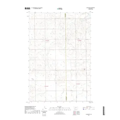
2018 Map of Clark Butte
USGS Topo · Published 2018About this map
Clark Butte rises above the plains in this 2018 survey, serving as a prominent landmark on the border of Grant and Hettinger counties. The landscape is defined by the drainage patterns of Coal Creek and Antelope Creek, which wind through the sectioned agricultural land. Settlement patterns are sparse, marked primarily by rural burial grounds such as Freidenfeld Cemetery in the southwest and Zion Cemetery to the northeast. A network of section-line roads, including 55th Street SW and 79th Avenue SW, provides the infrastructure for this ranching and farming region. The northern edge of the map follows the course of the Heart River, where the terrain begins to break into more complex coulees and draws typical of the Missouri Plateau.
Find a feature on this map
23 named features on this map. Tap any name to fly to it.
Don’t see what you’re looking for? This feature index may not catch every label — zoom into the map to look around manually.
Map Details
Editions of this 2018 Clark Butte Map
This is the sole edition of this map. No revisions or reprints were ever made.
Other maps of this area

1938 · Heart Butte
USGS Topo · 1:48,000

1944 · Heart Butte
USGS Topo · 1:62,500

1953 · Dickinson
USGS Topo · 1:250,000

1954 · Bismarck
USGS Topo · 1:250,000

1957 · Dickinson
USGS Topo · 1:250,000

1958 · Bismarck
USGS Topo · 1:250,000

1960 · Clark Butte NW
USGS Topo · 1:24,000

1960 · Heart Butte NW
USGS Topo · 1:24,000

1960 · Clark Butte NE
USGS Topo · 1:24,000

1960 · Clark Butte SW
USGS Topo · 1:24,000