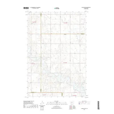
2018 Map of Clark Butte NE
USGS Topo · Published 2018About this map
Saints Peter and Paul Cem stands as a quiet focal point in this sparsely populated region where the borders of Stark, Morton, and Grant counties converge. The landscape is defined by the winding course of the Heart River, which flows through the southern half of the quadrangle, joined by tributaries such as Beaver Cr and Peters Cr. This map documents a vast grid of section lines and gravel routes, including Co Rd 138 and various numerical township roads like 48th St, which provide the primary access to the rolling prairie and isolated ranching tracts of this southwestern North Dakota territory. The drainage patterns of the river and its creeks illustrate the natural erosion and hydrology that dictate land use in these rural townships.
Find a feature on this map
27 named features on this map. Tap any name to fly to it.
Don’t see what you’re looking for? This feature index may not catch every label — zoom into the map to look around manually.
Map Details
Editions of this 2018 Clark Butte NE Map
This is the sole edition of this map. No revisions or reprints were ever made.
Other maps of this area

1938 · Heart Butte
USGS Topo · 1:48,000

1944 · Heart Butte
USGS Topo · 1:62,500

1953 · Dickinson
USGS Topo · 1:250,000

1954 · Bismarck
USGS Topo · 1:250,000

1957 · Dickinson
USGS Topo · 1:250,000

1958 · Bismarck
USGS Topo · 1:250,000

1960 · Clark Butte NW
USGS Topo · 1:24,000

1960 · Heart Butte NW
USGS Topo · 1:24,000

1960 · Clark Butte NE
USGS Topo · 1:24,000

1960 · Clark Butte SW
USGS Topo · 1:24,000