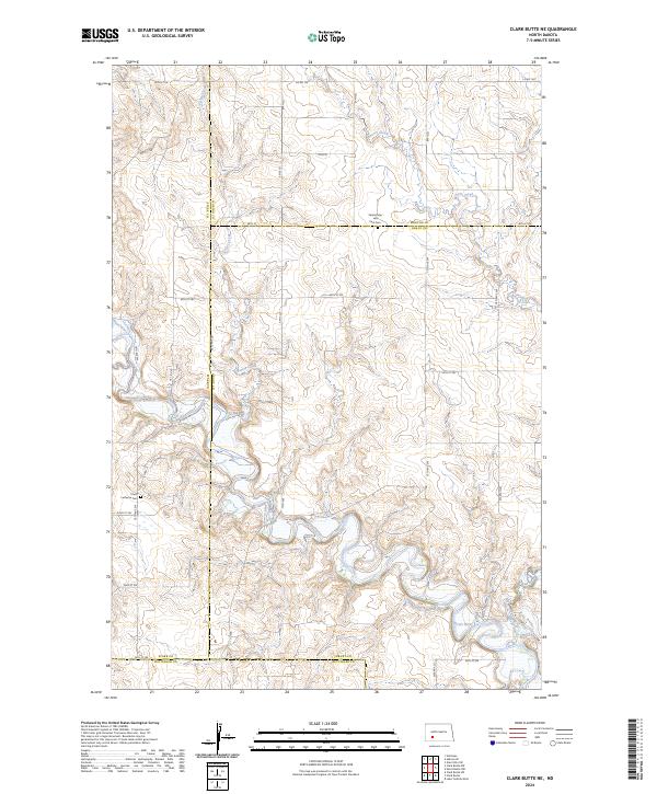
2024 Map of Clark Butte NE
USGS Topo · Published 2024About this map
Heart River meanders across this rural landscape where the boundaries of Grant, Morton, Stark, and Hettinger counties converge. The terrain is defined by a series of drainage systems, including Peters Creek and Beaver Creek, which cut through the high plains. Significant for genealogical research, the area preserves local heritage at Saints Peter and Paul Cem and Christ Lutheran Cem, providing specific points of reference for families tied to these North Dakota townships. A sparse network of section-line roads, such as 48th St and Co Rd 138, provides the primary access to this agricultural and ranching country, showing the enduring grid system that has organized this portion of the Great Plains for generations.
Find a feature on this map
27 named features on this map. Tap any name to fly to it.
Don’t see what you’re looking for? This feature index may not catch every label — zoom into the map to look around manually.
Map Details
Editions of this 2024 Clark Butte NE Map
This is the sole edition of this map. No revisions or reprints were ever made.
Other maps of this area

1938 · Heart Butte
USGS Topo · 1:48,000

1944 · Heart Butte
USGS Topo · 1:62,500

1953 · Dickinson
USGS Topo · 1:250,000

1954 · Bismarck
USGS Topo · 1:250,000

1957 · Dickinson
USGS Topo · 1:250,000

1958 · Bismarck
USGS Topo · 1:250,000

1960 · Clark Butte NW
USGS Topo · 1:24,000

1960 · Heart Butte NW
USGS Topo · 1:24,000

1960 · Clark Butte NE
USGS Topo · 1:24,000

1960 · Clark Butte SW
USGS Topo · 1:24,000