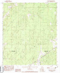
1982 Map of Clark Hollow
USGS Topo · Published 1983About this map
The border of Beauregard Parish and Calcasieu Parish defines this landscape of southwest Louisiana, where the drainage network of the Sabine River basin is intricately detailed. Low-lying terrain is marked by extensive marshlands, including Long Marsh and Green Island Marsh, interspersed with numerous named gullies such as Mustang Gully and Sally Gully. The Kansas City Southern railroad cuts through the southern reaches, providing a vital transport corridor through the wetlands and timbered areas. This 1982 provisional survey captures the region's rural character, characterized by family-named landmarks like Hyatt Cem and Stanley Cem, which serve as important anchors for local genealogical research. The map also documents specific water features like Mule Pond and the eponymous Clark Hollow, offering a precise record of the topography before later twentieth-century developments altered the local drainage patterns.
Find a feature on this map
22 named features on this map. Tap any name to fly to it.
Don’t see what you’re looking for? This feature index may not catch every label — zoom into the map to look around manually.
Map Details
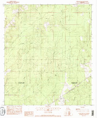
Editions of this 1982 Clark Hollow Map
2 editions found
Other maps of this area

1947 · Starks
USGS Topo · 1:31,680

1947 · Carter Creek
USGS Topo · 1:31,680

1947 · DeQuincy
USGS Topo · 1:31,680

1947 · Sulphur Mines
USGS Topo · 1:31,680

1947 · Oretta
USGS Topo · 1:31,680

1947 · Hyatt
USGS Topo · 1:31,680

1947 · Lunita
USGS Topo · 1:31,680

1947 · Long Marsh
USGS Topo · 1:31,680

1949 · Bancroft
USGS Topo · 1:31,680

1952 · Lake Charles
USGS Topo · 1:250,000