
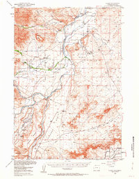
1950 Map of Clark
USGS Topo · Published 1952About this map
The Clarks Fork Yellowstone River carves through this northern Wyoming landscape, serving as the primary anchor for a network of irrigation systems like the Sirrine Ditch and Miles Battlefield Ditch. This complex of waterways supported a series of established ranching operations, including the Garrett Ranch and Owens Ranch, which defined the local economy at the turn of the decade. The map reveals the early industrial footprint of the Badger Basin area, specifically noting Oil Wells, Oil Tanks, and a Refinery located north of the Clark settlement.
Find a feature on this map
48 named features on this map. Tap any name to fly to it.
Don’t see what you’re looking for? This feature index may not catch every label — zoom into the map to look around manually.
Map Details
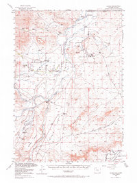
Editions of this 1950 Clark Map
3 editions found
Other maps of this area

1944 · Red Lodge
USGS Topo · 1:62,500

1949 · Pat O'Hara Mountain
USGS Topo · 1:62,500

1949 · Cody
USGS Topo · 1:62,500

1950 · Deep Lake
USGS Topo · 1:62,500

1951 · Cody
USGS Topo · 1:62,500

1954 · Billings
USGS Topo · 1:250,000

1955 · Cody
USGS Topo · 1:250,000

1956 · Mount Maurice
USGS Topo · 1:62,500

1957 · Billings
USGS Topo · 1:250,000

1958 · Billings
USGS Topo · 1:250,000