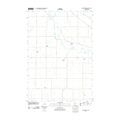
2010 Map of Clarkfield NE
USGS Topo · Published 2010About this map
The Minnesota River and Chippewa River converge in this agricultural landscape within Lac qui Parle County, defining a region where water and rail-aligned roads dictated early settlement patterns. This 2010 survey highlights a significant genealogical record through its numerous burial grounds, including the German American Cemetery and the Sommerfeld Family Cemetery. These sites, along with the Camp Release Township Cemetery and Saint Petri Cemetery, underscore the deep-rooted immigrant heritage and family landholdings of the area.
Find a feature on this map
26 named features on this map. Tap any name to fly to it.
Don’t see what you’re looking for? This feature index may not catch every label — zoom into the map to look around manually.
Map Details
Editions of this 2010 Clarkfield NE Map
This is the sole edition of this map. No revisions or reprints were ever made.
Other maps of this area

1953 · New Ulm
USGS Topo · 1:250,000

1953 · Saint Cloud
USGS Topo · 1:250,000

1957 · Saint Cloud
USGS Topo · 1:250,000

1957 · New Ulm
USGS Topo · 1:250,000

1958 · New Ulm
USGS Topo · 1:250,000

1958 · Saint Cloud
USGS Topo · 1:250,000

1958 · Milan
USGS Topo · 1:24,000

1958 · Watson
USGS Topo · 1:24,000

1958 · Gracelock SW
USGS Topo · 1:24,000

1965 · Montevideo
USGS Topo · 1:24,000