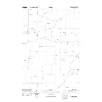
2013 Map of Clarks Mills
USGS Topo · Published 2013About this map
Dairy farming dominates the landscape in this 21st-century agricultural region west of Lake Michigan. The Manitowoc River carves a winding path through the northern half of the map, passing the settlement of Clarks Mills. The area's deep-rooted agricultural identity is evidenced by numerous named operations such as Hyland Dairy, Pine River Dairy, and the Triple Maple Dairy. These dairy farms and family lands, including the Vogel Family Farms and Sperber Elk Farms, are interspersed with small lakes like English Lake and Vetting Lake. Small crossroads communities such as Madsen, Rube, and Newtonburg provide local focal points along a grid of rural roads and the primary corridor of Us-151. This map reflects the continued importance of specialized family-run farming and dairy production in rural Wisconsin during the early 2010s.
Find a feature on this map
103 named features on this map. Tap any name to fly to it.
Don’t see what you’re looking for? This feature index may not catch every label — zoom into the map to look around manually.
Map Details
Editions of this 2013 Clarks Mills Map
This is the sole edition of this map. No revisions or reprints were ever made.
Other maps of this area

1954 · School Hill
USGS Topo · 1:24,000

1954 · Manitowoc
USGS Topo · 1:62,500

1954 · Cleveland
USGS Topo · 1:24,000

1954 · St. Wendel
USGS Topo · 1:24,000

1954 · Sheboygan North
USGS Topo · 1:62,500

1954 · Howards Grove
USGS Topo · 1:62,500

1954 · Reedsville
USGS Topo · 1:62,500

1954 · Manitowoc
USGS Topo · 1:24,000

1954 · Milwaukee
USGS Topo · 1:250,000

1954 · Manitowoc
USGS Topo · 1:250,000