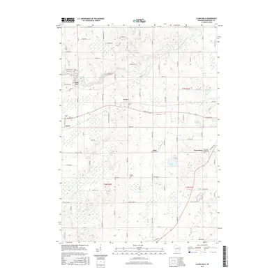
2015 Map of Clarks Mills
USGS Topo · Published 2015About this map
Clarks Mills and the winding Manitowoc River define the northern portion of this rural landscape, where small crossroads communities serve a territory of scattered dairy farms and glacial kettle lakes. The settlement of Valders occupies the western edge, while smaller locales like Madsen, Rube, and Newtonburg mark the intersection of local routes such as Viebahn Rd and Calumet Dr. The terrain is punctuated by significant water bodies, including the large English Lake and the southern Lutzke Lakes. For the family historian, the map identifies several local burial sites, from Saint Mary Cem near the river to the Saint John Evangelical Lutheran Cem in the east. The density of named cemeteries and churches highlights the importance of the town line between T19N and T18N in organizing the social and spiritual life of Manitowoc County residents.
Find a feature on this map
58 named features on this map. Tap any name to fly to it.
Don’t see what you’re looking for? This feature index may not catch every label — zoom into the map to look around manually.
Map Details
Editions of this 2015 Clarks Mills Map
This is the sole edition of this map. No revisions or reprints were ever made.
Other maps of this area

1954 · School Hill
USGS Topo · 1:24,000

1954 · Manitowoc
USGS Topo · 1:62,500

1954 · Cleveland
USGS Topo · 1:24,000

1954 · St. Wendel
USGS Topo · 1:24,000

1954 · Sheboygan North
USGS Topo · 1:62,500

1954 · Howards Grove
USGS Topo · 1:62,500

1954 · Reedsville
USGS Topo · 1:62,500

1954 · Manitowoc
USGS Topo · 1:24,000

1954 · Milwaukee
USGS Topo · 1:250,000

1954 · Manitowoc
USGS Topo · 1:250,000