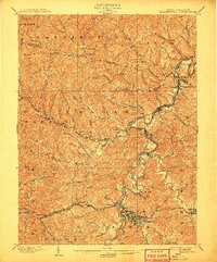
1902 Map of Clarksburg
USGS Topo · Published 1907About this map
Clarksburg anchors this 1901 survey of the north-central West Virginia coal and oil fields, just as the industrial landscape was rapidly maturing. The city is flanked by distinctive landmarks like Pinnickinnick Mt. and Duncan Hill, while a dense web of turnpikes and rail lines radiates into the surrounding hills. This era saw the expansion of the Baltimore and Ohio RR and the W. Va. Short Line, which serviced the growing mining and timber settlements along the Fairmont River.
Find a feature on this map
105 named features on this map. Tap any name to fly to it.
Don’t see what you’re looking for? This feature index may not catch every label — zoom into the map to look around manually.
Map Details
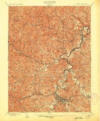
Editions of this 1902 Clarksburg Map
3 editions found
Other maps of this area

1902 · Clarksburg
USGS Topo · 1:62,500

1902 · Fairmont
USGS Topo · 1:62,500

1903 · Littleton
USGS Topo · 1:62,500

1904 · Philippi
USGS Topo · 1:62,500

1904 · Blacksville
USGS Topo · 1:62,500

1904 · Weston
USGS Topo · 1:62,500

1904 · Vadis
USGS Topo · 1:62,500

1905 · Mannington
USGS Topo · 1:62,500

1905 · Centerpoint
USGS Topo · 1:62,500

1905 · Littleton
USGS Topo · 1:62,500