
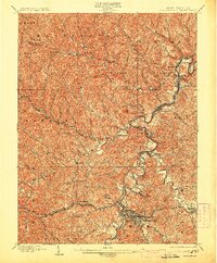
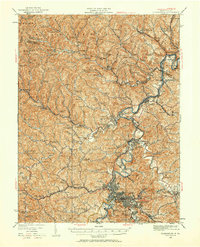
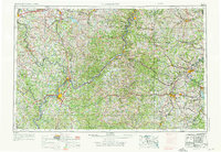
1961 Map of Clarksburg
USGS Topo · Published 1961About this map
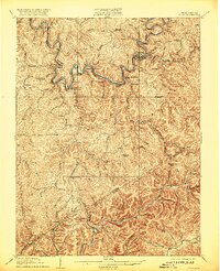
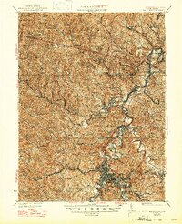
The Ohio River and Muskingum River serve as the primary geographical anchors for this regional study, which bridges the industrial corridors of West Virginia and Ohio. Major population centers like Parkersburg and Zanesville appear at the height of their mid-century development, connected by the extensive tracks of the Baltimore and Ohio and Pennsylvania railroads. The map captures the industrial character of the Upper Monongahela Valley, highlighting coal and manufacturing hubs such as Fairmont and Monongah.
Find a feature on this map
75 named features on this map. Tap any name to fly to it.
Don’t see what you’re looking for? This feature index may not catch every label — zoom into the map to look around manually.
Map Details
Editions of this 1961 Clarksburg Map
This is the sole edition of this map. No revisions or reprints were ever made.
Historical Maps of Veteran's Square Through Time
12 maps found
1902 Clarksburg
Harrison County, WV
1910 Clarksburg
Harrison County, WV
1923 Clarksburg
Harrison County, WV
1925 Clarksburg
Harrison County, WV

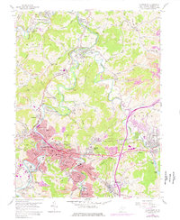
1949 Clarksburg
Harrison County, WV
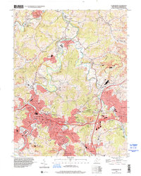
1956 Clarksburg
Harrison County, WV
1958 Clarksburg
Harrison County, WV
1961 Clarksburg
Harrison County, WV

1982 Clarksburg
Harrison County, WV

1988 Clarksburg
Harrison County, WV
1996 Clarksburg
Harrison County, WV
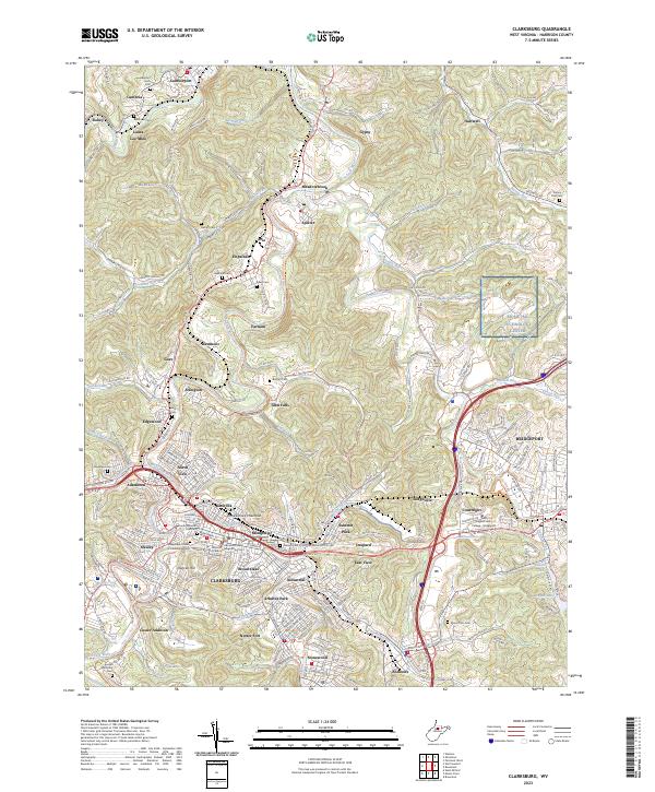
2023 Clarksburg
Harrison County, WV