
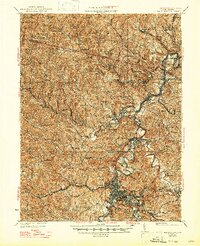
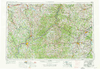
1988 Map of Clarksburg
USGS Topo · Published 1989About this map
Clarksburg and Parkersburg serve as the primary urban anchors in this regional study of the central Appalachian Mountains during the late twentieth century. The Ohio River carves a dominant path through the landscape, acting as a natural boundary between Ohio and West Virginia, while connecting industrial centers like Marietta and Moundsville. The region's transport network is defined by the intersection of Interstate 77 and Interstate 79, alongside a dense web of older rail lines including the B & O RR and Conrail. Extensive protected lands, such as the Wayne National Forest and Monongahela National Forest, contrast with the numerous smaller settlements like Weston, Spencer, and Buckhannon. Significant water management features, including Tygart Lake and Stonecoal Lake, highlight the intersection of natural topography and infrastructure across the many county divisions of this three-state area.
Find a feature on this map
89 named features on this map. Tap any name to fly to it.
Don’t see what you’re looking for? This feature index may not catch every label — zoom into the map to look around manually.
Map Details
Editions of this 1988 Clarksburg Map
This is the sole edition of this map. No revisions or reprints were ever made.
Historical Maps of Bellview Through Time
12 maps found
1902 Clarksburg
Harrison County, WV
1910 Clarksburg
Harrison County, WV
1923 Clarksburg
Harrison County, WV
1925 Clarksburg
Harrison County, WV

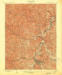
1949 Clarksburg
Harrison County, WV
1956 Clarksburg
Harrison County, WV
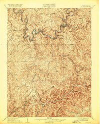
1958 Clarksburg
Harrison County, WV

1961 Clarksburg
Harrison County, WV

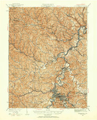
1982 Clarksburg
Harrison County, WV
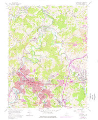
1988 Clarksburg
Harrison County, WV
1996 Clarksburg
Harrison County, WV
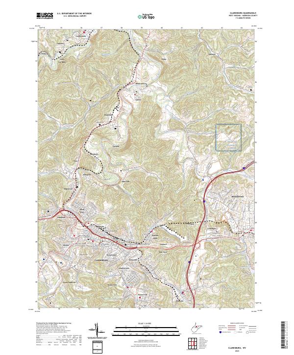
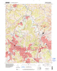
2023 Clarksburg
Harrison County, WV