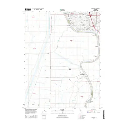
2015 Map of Clarksburg
USGS Topo · Published 2015About this map
Merritt Island and the fertile alluvial soils of the Central Valley define this landscape, where the meandering Sacramento River forms the border between Yolo and Sacramento counties. The engineering of the delta is on full display, from the massive Sacramento River Deep Water Ship Channel on the western edge to the complex network of the Tule Canal, Toe Drain, and Main Canal. These waterways supported the development of agricultural communities like Clarksburg, Central, and Coniston.
Find a feature on this map
95 named features on this map. Tap any name to fly to it.
Don’t see what you’re looking for? This feature index may not catch every label — zoom into the map to look around manually.
Map Details
Editions of this 2015 Clarksburg Map
This is the sole edition of this map. No revisions or reprints were ever made.
Other maps of this area

1891 · Sacramento
USGS Topo · 1:125,000

1892 · Sacramento
USGS Topo · 1:125,000

1893 · Sacramento
USGS Topo · 1:125,000

1894 · Lodi
USGS Topo · 1:125,000

1902 · Fairoaks
USGS Topo · 1:62,500

1907 · Davisville
USGS Topo · 1:62,500

1908 · Courtland
USGS Topo · 1:62,500

1909 · Florin
USGS Topo · 1:31,680

1910 · Bruceville
USGS Topo · 1:31,680

1911 · Brighton
USGS Topo · 1:31,680