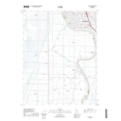
2018 Map of Clarksburg
USGS Topo · Published 2018About this map
The Sacramento River meanders through this portion of the Sacramento Valley, defining the boundary between Yolo and Sacramento counties. This 2018 survey captures the intricate water management system of the Delta region, where the massive Sacramento River Deep Water Ship Channel runs parallel to natural and man-made waterways like the Toe Drain and Tule Canal. The river's winding course creates distinct landforms such as Merritt Island and Freeport Bend, while the small settlement of Clarksburg sits protected by levees along the western bank. To the north, the southern edges of Sacramento give way to rural infrastructure, including the Borges - Clarksburg Airport and a network of agricultural roads such as Netherlands Ave and Clarksburg Rd. This landscape reflects a late-2010s balance of intensive river-based commerce, local aviation, and the enduring drainage patterns of Babel Slough and Elk Slough.
Find a feature on this map
71 named features on this map. Tap any name to fly to it.
Don’t see what you’re looking for? This feature index may not catch every label — zoom into the map to look around manually.
Map Details
Editions of this 2018 Clarksburg Map
This is the sole edition of this map. No revisions or reprints were ever made.
Other maps of this area

1891 · Sacramento
USGS Topo · 1:125,000

1892 · Sacramento
USGS Topo · 1:125,000

1893 · Sacramento
USGS Topo · 1:125,000

1894 · Lodi
USGS Topo · 1:125,000

1902 · Fairoaks
USGS Topo · 1:62,500

1907 · Davisville
USGS Topo · 1:62,500

1908 · Courtland
USGS Topo · 1:62,500

1909 · Florin
USGS Topo · 1:31,680

1910 · Bruceville
USGS Topo · 1:31,680

1911 · Brighton
USGS Topo · 1:31,680