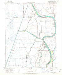
1952 Map of Clarksburg
USGS Topo · Published 1963About this map
The Sacramento River winds through this 1952 delta landscape, defining the border between Yolo and Sacramento Counties. The community of Clarksburg sits at a sharp bend in the river, adjacent to a large Sugar Beet Plant and a nearby Tide Gage, illustrating the area's agricultural and maritime reliance. Irrigation and flood control structures dominate the terrain, from the massive Yolo By-Pass in the west to the intricate network of levees along Winchester Lake and Babel Slough.
Find a feature on this map
37 named features on this map. Tap any name to fly to it.
Don’t see what you’re looking for? This feature index may not catch every label — zoom into the map to look around manually.
Map Details
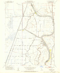
Editions of this 1952 Clarksburg Map
2 editions found
Other maps of this area

1891 · Sacramento
USGS Topo · 1:125,000

1892 · Sacramento
USGS Topo · 1:125,000

1893 · Sacramento
USGS Topo · 1:125,000

1894 · Lodi
USGS Topo · 1:125,000

1902 · Fairoaks
USGS Topo · 1:62,500

1907 · Davisville
USGS Topo · 1:62,500

1908 · Courtland
USGS Topo · 1:62,500

1909 · Florin
USGS Topo · 1:31,680

1910 · Bruceville
USGS Topo · 1:31,680

1911 · Brighton
USGS Topo · 1:31,680