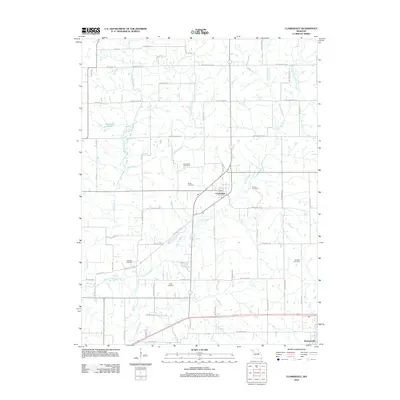
2012 Map of Clarksdale
USGS Topo · Published 2012About this map
Clarksdale serves as the central hub of this Missouri landscape, situated at the intersection of a sprawling rural road network and the Little Third Fork river. The settlement pattern reflects a deeply rooted agricultural history, where family-named roads like SW Thornton Rd and SW Taylor Rd connect isolated homesteads to the village core. The area is notable for its numerous burial grounds, including the Stone Cemetery, Silvers Cemetery, and Todd Cemetery, which provide essential points of interest for genealogical research in this portion of DeKalb County.
Find a feature on this map
48 named features on this map. Tap any name to fly to it.
Don’t see what you’re looking for? This feature index may not catch every label — zoom into the map to look around manually.
Map Details
Editions of this 2012 Clarksdale Map
This is the sole edition of this map. No revisions or reprints were ever made.
Other maps of this area

1923 · Clarksdale
USGS Topo · 1:62,500

1923 · Maysville
USGS Topo · 1:62,500

1925 · Gower
USGS Topo · 1:62,500

1925 · Clarksdale
USGS Topo · 1:62,500

1925 · Plattsburg
USGS Topo · 1:62,500

1925 · Maysville
USGS Topo · 1:62,500

1950 · Kansas City
USGS Topo · 1:250,000

1954 · Kansas City
USGS Topo · 1:250,000

1956 · Kansas City
USGS Topo · 1:250,000

1960 · Kansas City
USGS Topo · 1:250,000