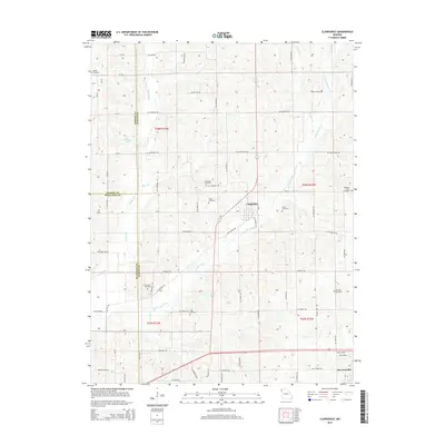
2014 Map of Clarksdale
USGS Topo · Published 2014About this map
Clarksdale and Stewartsville anchor this Missouri landscape where the borders of Andrew, Buchanan, and DeKalb counties converge. The terrain is defined by the branching hydrography of the Third Fork and Little Third Fork, which create a complex network of ridges and drainages. A high density of rural burial grounds, including Bethel Cemetery, Stone Cemetery, and Silvers Cemetery, suggests a long-settled agricultural community with deep genealogical roots. The arrival of the NE Railroad in the southern portion of the quadrangle, passing through Ballinger, highlights the area's late-era connectivity. The map also documents local water features like Peterson Lake and the Jordan Cr valley, providing a clear view of the intersection between nineteenth-century settlement patterns and modern infrastructure.
Find a feature on this map
58 named features on this map. Tap any name to fly to it.
Don’t see what you’re looking for? This feature index may not catch every label — zoom into the map to look around manually.
Map Details
Editions of this 2014 Clarksdale Map
This is the sole edition of this map. No revisions or reprints were ever made.
Other maps of this area

1923 · Clarksdale
USGS Topo · 1:62,500

1923 · Maysville
USGS Topo · 1:62,500

1925 · Gower
USGS Topo · 1:62,500

1925 · Clarksdale
USGS Topo · 1:62,500

1925 · Plattsburg
USGS Topo · 1:62,500

1925 · Maysville
USGS Topo · 1:62,500

1950 · Kansas City
USGS Topo · 1:250,000

1954 · Kansas City
USGS Topo · 1:250,000

1956 · Kansas City
USGS Topo · 1:250,000

1960 · Kansas City
USGS Topo · 1:250,000