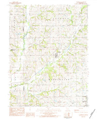
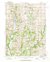
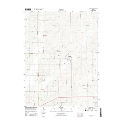
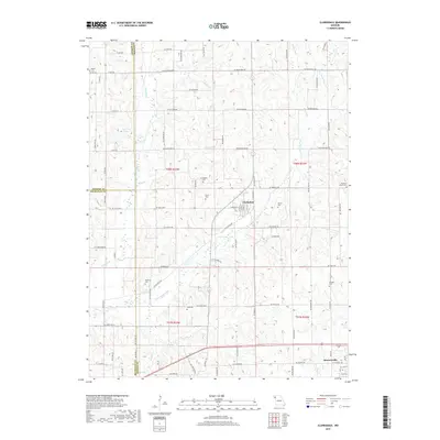
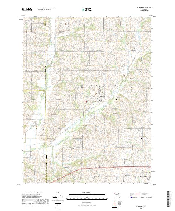
1983 Map of Clarksdale
USGS Topo · Published 1984About this map
Clarksdale and the outskirts of Stewartsville anchor this 1980s topographic survey of the Missouri countryside where DeKalb, Buchanan, and Andrew Counties meet. The landscape is defined by the winding paths of the Third Fork and Little Third Fork rivers, which cut through the townships of Monroe, Sherman, and Washington. The mapping reveals a rural infrastructure of small family and community burial grounds, such as Stone Cem, Silvers Cem, and Thornton Cem, which offer significant value for genealogists tracing regional lineages.
Find a feature on this map
24 named features on this map. Tap any name to fly to it.
Don’t see what you’re looking for? This feature index may not catch every label — zoom into the map to look around manually.
Map Details
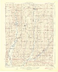
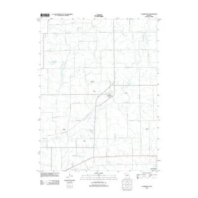
Editions of this 1983 Clarksdale Map
This is the sole edition of this map. No revisions or reprints were ever made.
Historical Maps of Stewartsville Through Time
7 maps found
Featured Locations
- Buchanan County, MO
- Sherman Township, MO
- Washington Township, MO
- Clarksdale, Washington Township
- Stewartsville, Washington Township