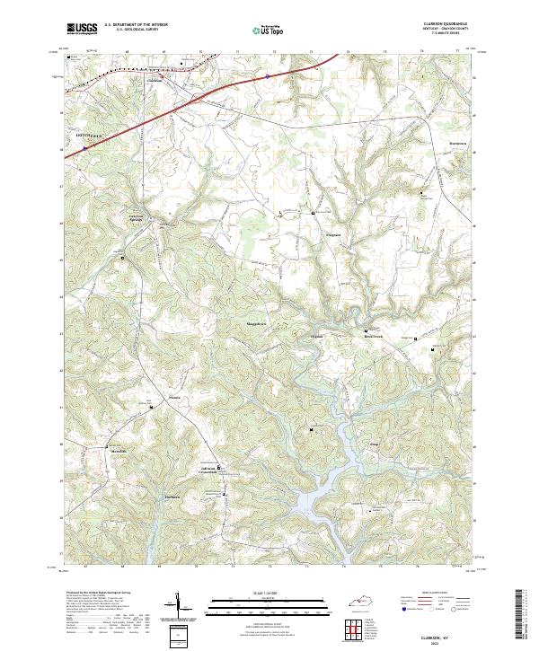
2022 Map of Clarkson
USGS Topo · Published 2022About this map
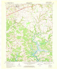
Grayson Springs and the surrounding Grayson County countryside are defined by a network of rural settlements and family-named cemeteries. The terrain transitions from the heights of Confederate Hill down to the fingers of Nolin Lake in the south, where the Grindstone Fork and Hunting Fork feed into the reservoir. Numerous faith-based landmarks anchor these communities, including Peonia Christian Church and the Antioch General Baptist Church at Johnson Crossroads. The landscape is etched with history, from the established streets of Clarkson to smaller hamlets like Fragrant and Skaggstown. Significant genealogical value is found in the scattered burial grounds such as Saint Augustine Cem and Rock Creek Church Cem, which serve as permanent markers of the area's early family settlements along the various forks of Rock Creek and Bear Cr.
Find a feature on this map
114 named features on this map. Tap any name to fly to it.
Don’t see what you’re looking for? This feature index may not catch every label — zoom into the map to look around manually.
Map Details
Editions of this 2022 Clarkson Map
This is the sole edition of this map. No revisions or reprints were ever made.
Historical Maps of Fragrant Through Time
3 maps found