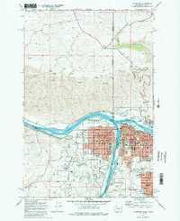
1975 Map of Clarkston
USGS Topo · Published 1977About this map
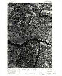
Clarkston, Washington and Lewiston, Idaho meet at the high-contrast confluence of two major western waterways in this mid-1970s orthophotoquad. Produced by the Geological Survey and the Soil Conservation Service, this aerial perspective reveals the dense residential and commercial grids of the twin cities as they appeared decades ago. The Snake River flows through the center of the frame, joined from the east by the Clearwater River, creating a natural border between the states. To the south, the extensive residential development of Lewiston Orchards spreads across the Idaho plateau. This photographic record is particularly useful for observing mid-century urban density and the sharp transition between the developed valley floor and the surrounding plateaus before later suburban expansion further altered the regional footprint.
Find a feature on this map
5 named features on this map. Tap any name to fly to it.
Don’t see what you’re looking for? This feature index may not catch every label — zoom into the map to look around manually.
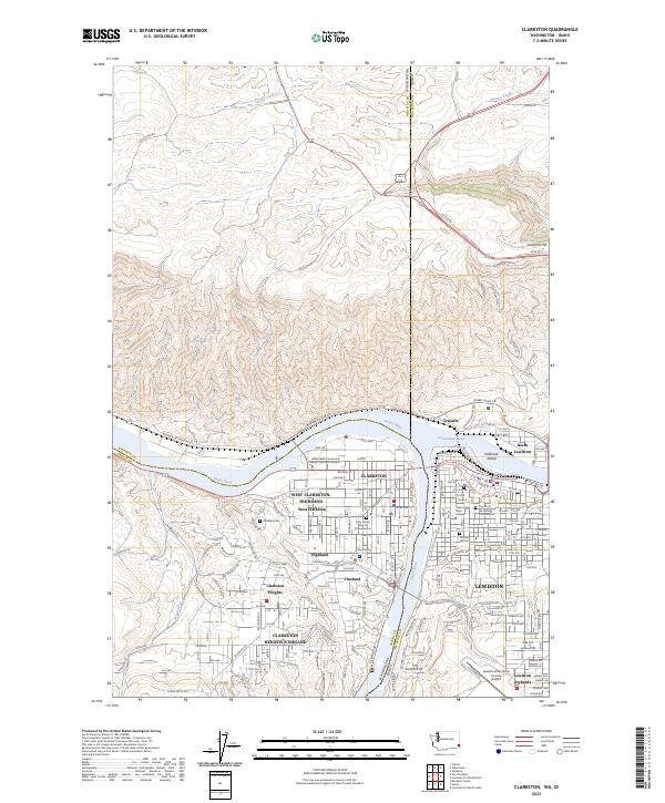
Map Details
Editions of this 1975 Clarkston Map
This is the sole edition of this map. No revisions or reprints were ever made.
Historical Maps of Lewiston Through Time
6 maps found