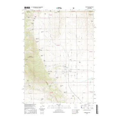
2017 Map of Clarkston
USGS Topo · Published 2017About this map
Clarkston sits at the foot of the mountains on the Utah-Idaho border, serving as a hub for the surrounding agricultural and canyon lands. To the west, the landscape rises sharply into the Caribou National Forest and toward the peak of Clarkston Mtn, where numerous drainages like New Quigley Canyon and Raglanite Canyon have shaped the rugged terrain. These canyons feed into the valley floor, supporting water sources such as Thompson Spring and Kinnikinick Spring.
Find a feature on this map
89 named features on this map. Tap any name to fly to it.
Don’t see what you’re looking for? This feature index may not catch every label — zoom into the map to look around manually.
Map Details
Editions of this 2017 Clarkston Map
This is the sole edition of this map. No revisions or reprints were ever made.
Other maps of this area

1914 · Logan
USGS Topo · 1:125,000

1915 · Preston
USGS Topo · 1:96,000

1916 · Logan
USGS Topo · 1:125,000

1918 · Preston
USGS Topo · 1:125,000

1954 · Pocatello
USGS Topo · 1:250,000

1954 · Ogden
USGS Topo · 1:250,000

1954 · Brigham City
USGS Topo · 1:250,000

1955 · Preston
USGS Topo · 1:250,000

1958 · Ogden
USGS Topo · 1:250,000

1958 · Pocatello
USGS Topo · 1:250,000