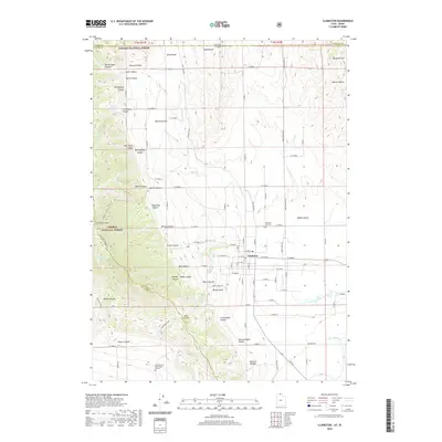
2020 Map of Clarkston
USGS Topo · Published 2020About this map
Clarkston sits at the foot of the Wellsville Mountains, anchored by a grid of residential streets that meet the agricultural plains of northern Utah. This 2020 survey reveals the complex drainage systems and canyons that define the local landscape, such as Green Canyon and Old Canyon, which flow toward the town and feed Clarkston Cr. The map is particularly valuable for genealogical research, identifying the Clarkston City Cem and the more remote James Barnet Cole Burial Ground situated near the intersection of several local drainage ways.
Find a feature on this map
133 named features on this map. Tap any name to fly to it.
Don’t see what you’re looking for? This feature index may not catch every label — zoom into the map to look around manually.
Map Details
Editions of this 2020 Clarkston Map
This is the sole edition of this map. No revisions or reprints were ever made.
Other maps of this area

1914 · Logan
USGS Topo · 1:125,000

1915 · Preston
USGS Topo · 1:96,000

1916 · Logan
USGS Topo · 1:125,000

1918 · Preston
USGS Topo · 1:125,000

1954 · Pocatello
USGS Topo · 1:250,000

1954 · Ogden
USGS Topo · 1:250,000

1954 · Brigham City
USGS Topo · 1:250,000

1955 · Preston
USGS Topo · 1:250,000

1958 · Ogden
USGS Topo · 1:250,000

1958 · Pocatello
USGS Topo · 1:250,000