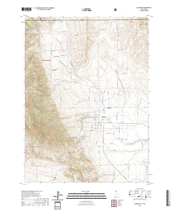
2023 Map of Clarkston
USGS Topo · Published 2023About this map
Clarkston sits at the foot of the High Uintas, where the settlement grid transitions into the steep drainages of the Caribou National Forest. The landscape is defined by a dense network of canyons and ridges, including Clarkston Mtn and Old Canyon. This 2023 survey documents the modern layout of the town, including the Clarkston City Cem and the James Barnet Cole Burial Ground to the south. The area's hydrology is marked by perennial flows like Clarkston Creek and numerous named springs such as Casper Spring and Kinnikinnick Spring. Cultural geography is preserved through traditional place names like Hammond Flat, The Slough, and Washboards. An extensive trail system, including the Clarkston Ridge Trl and Old Canyon Trl, provides a detailed look at the interface between the agricultural valley and the rugged mountain terrain.
Find a feature on this map
110 named features on this map. Tap any name to fly to it.
Don’t see what you’re looking for? This feature index may not catch every label — zoom into the map to look around manually.
Map Details
Editions of this 2023 Clarkston Map
This is the sole edition of this map. No revisions or reprints were ever made.
Other maps of this area

1914 · Logan
USGS Topo · 1:125,000

1915 · Preston
USGS Topo · 1:96,000

1916 · Logan
USGS Topo · 1:125,000

1918 · Preston
USGS Topo · 1:125,000

1954 · Pocatello
USGS Topo · 1:250,000

1954 · Ogden
USGS Topo · 1:250,000

1954 · Brigham City
USGS Topo · 1:250,000

1955 · Preston
USGS Topo · 1:250,000

1958 · Ogden
USGS Topo · 1:250,000

1958 · Pocatello
USGS Topo · 1:250,000