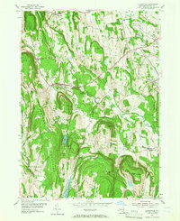
1953 Map of Clarksville
USGS Topo · Published 1966About this map
The Helderberg Mountains dominate the western landscape of this mid-century Albany County survey, rising sharply above the valley floor. Small hamlets like Clarksville and New Salem are positioned at the base of these heights, where the terrain transitions into the agricultural and wooded uplands of New Scotland and Bethlehem. The topography is defined by significant ridges and summits, including Bennett Hill and Wolf Hill, which flank the winding path of Onesquethaw Creek.
Find a feature on this map
60 named features on this map. Tap any name to fly to it.
Don’t see what you’re looking for? This feature index may not catch every label — zoom into the map to look around manually.
Map Details
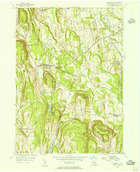
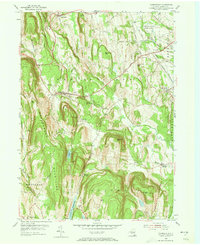
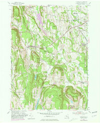
Editions of this 1953 Clarksville Map
4 editions found
Other maps of this area

1893 · Coxsackie
USGS Topo · 1:62,500

1893 · Durham
USGS Topo · 1:62,500

1893 · Albany
USGS Topo · 1:62,500

1894 · Coxsackie
USGS Topo · 1:62,500

1894 · Durham
USGS Topo · 1:62,500

1895 · Albany
USGS Topo · 1:62,500

1898 · Albany
USGS Topo · 1:62,500

1900 · Berne
USGS Topo · 1:62,500

1903 · Berne
USGS Topo · 1:62,500

1927 · Albany
USGS Topo · 1:62,500