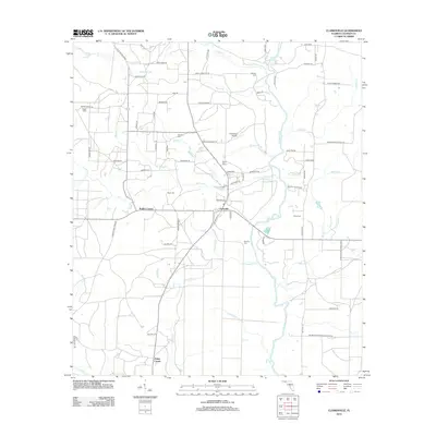
2012 Map of Clarksville
USGS Topo · Published 2012About this map
The Chipola River serves as the central geographic artery for this rural Calhoun County landscape, its winding course flanked by a dense network of creek systems including Tenmile Cr and Fourmile Cr. The settlement pattern is defined by small crossroads and family-named locales, reflecting a deeply rooted community structure. Clarksville and Carr anchor the northern reaches, while Rollins Corner and Fisher Corner mark key junctions to the west and south. Local aviation history is represented by the Clarksville Airport, while the area's genealogical record is preserved across numerous burial grounds such as Bailey Cemetery, Pippin Cem, and Ayers Cem. The terrain is characterized by subtle hydrologic features like Poplar Head and Suggs Head, indicating the low-lying, water-rich environment of the Florida Panhandle's interior.
Find a feature on this map
83 named features on this map. Tap any name to fly to it.
Don’t see what you’re looking for? This feature index may not catch every label — zoom into the map to look around manually.
Map Details
Editions of this 2012 Clarksville Map
This is the sole edition of this map. No revisions or reprints were ever made.
Other maps of this area

1944 · Clarksville
USGS Topo · 1:31,680

1945 · Juniper Creek
USGS Topo · 1:31,680

1945 · Blountstown
USGS Topo · 1:31,680

1945 · Clarksville
USGS Topo · 1:31,680

1945 · Broad Branch
USGS Topo · 1:31,680

1945 · Estiffanulga
USGS Topo · 1:31,680

1945 · Frink
USGS Topo · 1:31,680

1952 · Alford SE
USGS Topo · 1:24,000

1952 · Altha West
USGS Topo · 1:24,000

1952 · Altha East
USGS Topo · 1:24,000