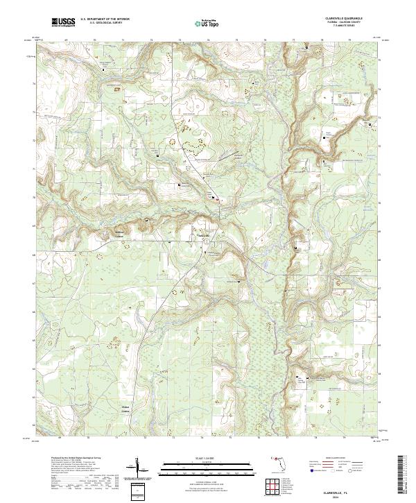
2024 Map of Clarksville
USGS Topo · Published 2024About this map
The Chipola River corridor dominates this portion of Calhoun County, where small agricultural junctions and family burial grounds dot the landscape. Settlement centers like Clarksville, Rollins Corner, and Fisher Corner are connected by a network of rural roads such as NW Shuman Ferry Rd and Bailey Cemetery Rd. The map reveals a high density of small cemeteries, including Abe Spring Cem Old and the Travelers Rest Cem, which serve as vital markers for local genealogical research and family history.
Find a feature on this map
100 named features on this map. Tap any name to fly to it.
Don’t see what you’re looking for? This feature index may not catch every label — zoom into the map to look around manually.
Map Details
Editions of this 2024 Clarksville Map
This is the sole edition of this map. No revisions or reprints were ever made.
Other maps of this area

1944 · Clarksville
USGS Topo · 1:31,680

1945 · Juniper Creek
USGS Topo · 1:31,680

1945 · Blountstown
USGS Topo · 1:31,680

1945 · Clarksville
USGS Topo · 1:31,680

1945 · Broad Branch
USGS Topo · 1:31,680

1945 · Estiffanulga
USGS Topo · 1:31,680

1945 · Frink
USGS Topo · 1:31,680

1952 · Alford SE
USGS Topo · 1:24,000

1952 · Altha West
USGS Topo · 1:24,000

1952 · Altha East
USGS Topo · 1:24,000