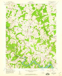
1957 Map of Clarksville
USGS Topo · Published 1960About this map
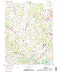
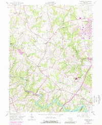
Clarksville and the surrounding rural communities of Highland and Dayton define this landscape during the mid-1950s, a period of transition for Howard County. The terrain is structured by the Middle Patuxent River and the larger Patuxent River, which forms the boundary with Montgomery County. Large-scale water management is evident in the presence of the Triadelphia Reservoir to the west and the Rocky Gorge Reservoir to the south. Local life is anchored by numerous institutions, including the St Louis School and churches such as Brown Chapel and Emmanuel Ch. The map captures a detailed network of rural crossroads and family landmarks, from the Linthicum Cemetery to the Hopkins School, before the massive suburban expansion that would eventually characterize this corridor between Washington and Baltimore.
Find a feature on this map
31 named features on this map. Tap any name to fly to it.
Don’t see what you’re looking for? This feature index may not catch every label — zoom into the map to look around manually.
Map Details
Editions of this 1957 Clarksville Map
6 editions found
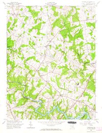
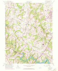
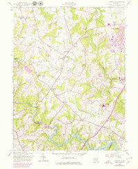
Other maps of this area

1892 · Laurel
USGS Topo · 1:62,500

1892 · Ellicott
USGS Topo · 1:62,500

1893 · Frederick
USGS Topo · 1:125,000

1894 · Ellicott
USGS Topo · 1:62,500

1894 · Laurel
USGS Topo · 1:62,500

1894 · Frederick
USGS Topo · 1:125,000

1897 · Laurel
USGS Topo · 1:62,500

1906 · Ellicott
USGS Topo · 1:62,500

1907 · Laurel
USGS Topo · 1:62,500

1908 · Patapsco
USGS Topo · 1:125,000