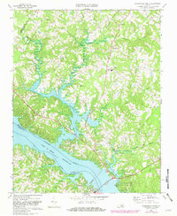
1968 Map of Clarksville North
USGS Topo · Published 1981About this map
Clarksville anchors the southern edge of this landscape, situated where the Southern railroad line crosses the expansive John H Kerr Reservoir. This 1968 study, updated in 1981, reveals the complex shoreline created by the flooding of the Roanoke and Dan rivers, resulting in numerous inlets such as Occoneechee Harbor and the mouth of Bluestone Creek. The terrain is characterized by a network of rural settlements and community landmarks, including Orgainville and Jones Store. Local history is preserved in the location of several country churches like Ephesus Ch and St Matthews Ch, alongside West End High Sch. The map also details the early development of Occoneechee State Park, showing its campgrounds and picnic areas adjacent to the reservoir, while reflecting the era's infrastructure through the Norfolk and Danville rail corridor.
Find a feature on this map
40 named features on this map. Tap any name to fly to it.
Don’t see what you’re looking for? This feature index may not catch every label — zoom into the map to look around manually.
Map Details
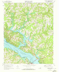
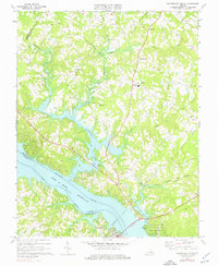
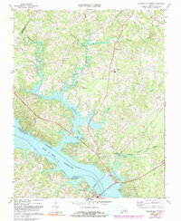
Editions of this 1968 Clarksville North Map
4 editions found
Other maps of this area

1941 · Clarksville
USGS Topo · 1:48,000

1943 · Clarksville
USGS Topo · 1:62,500

1953 · Greensboro
USGS Topo · 1:250,000

1954 · Greensboro
USGS Topo · 1:250,000

1954 · Clover
USGS Topo · 1:62,500

1955 · Chase City
USGS Topo · 1:62,500

1955 · Boydton
USGS Topo · 1:62,500

1957 · Clarksville
USGS Topo · 1:62,500

1962 · Greensboro
USGS Topo · 1:250,000

1966 · Greensboro
USGS Topo · 1:250,000