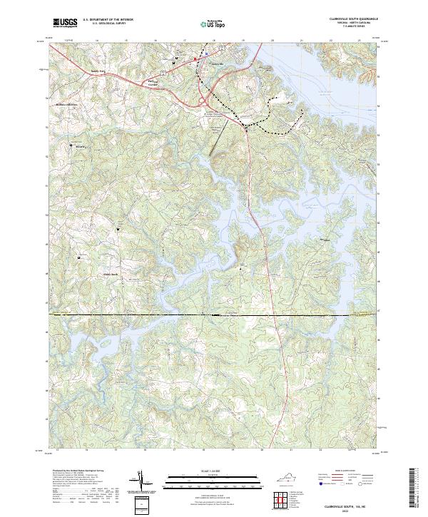
2022 Map of Clarksville South
USGS Topo · Published 2022About this map
John H. Kerr Reservoir dominates the eastern and southern reaches of this landscape, its complex shoreline defining the border between Mecklenburg County, Virginia, and Granville County, North Carolina. This modern survey reflects a region where traditional crossroads like Shiny Rock, Sandy Fork, and Buffalo Junction persist alongside infrastructure like the Lake Country Regional Airport and the Southside Virginia Community College. A high density of rural burial grounds, including the State Line Cem, Oakhurst Cem, and Ligon Cem, provides significant value for genealogical research near the state line.
Find a feature on this map
114 named features on this map. Tap any name to fly to it.
Don’t see what you’re looking for? This feature index may not catch every label — zoom into the map to look around manually.
Map Details
Editions of this 2022 Clarksville South Map
This is the sole edition of this map. No revisions or reprints were ever made.
Other maps of this area

1941 · Clarksville
USGS Topo · 1:48,000

1943 · Clarksville
USGS Topo · 1:62,500

1953 · Oxford
USGS Topo · 1:62,500

1953 · Greensboro
USGS Topo · 1:250,000

1954 · Greensboro
USGS Topo · 1:250,000

1955 · Boydton
USGS Topo · 1:62,500

1957 · Clarksville
USGS Topo · 1:62,500

1962 · Greensboro
USGS Topo · 1:250,000

1966 · Greensboro
USGS Topo · 1:250,000

1966 · Oxford
USGS Topo · 1:62,500