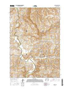
2017 Map of Clarno
USGS Topo · Published 2017About this map
The John Day River carves a deep path through the high desert of Central Oregon, defining the boundary between Wasco Co and Wheeler Co. This landscape is anchored by the John Day Fossil Beds National Monument, which contains significant geological and paleontological sites such as The Palisades, Clarno Arch, and Equisetum Canyon. The settlement of Clarno serves as the local hub near the crossing of Highway 218, while the surrounding terrain is marked by distinctive landmarks like Whitecap Knoll and Black Spur. Local family history is preserved at the Tillotson Cem and Clarno Cem. The river itself remains a central feature, punctuated by the Clarno Rapids and fed by seasonal drainages like Sorefoot Cr and Pine Cr. Springs such as Willow Branch Spring represent vital water sources in this arid environment of canyons and plateaus.
Find a feature on this map
39 named features on this map. Tap any name to fly to it.
Don’t see what you’re looking for? This feature index may not catch every label — zoom into the map to look around manually.
Map Details
Editions of this 2017 Clarno Map
This is the sole edition of this map. No revisions or reprints were ever made.
Other maps of this area

1916 · Condon
USGS Topo · 1:125,000

1926 · Mitchell
USGS Topo · 1:125,000

1953 · The Dalles
USGS Topo · 1:250,000

1955 · Bend
USGS Topo · 1:250,000

1956 · The Dalles
USGS Topo · 1:250,000

1957 · Bend
USGS Topo · 1:250,000

1957 · The Dalles
USGS Topo · 1:250,000

1958 · Bend
USGS Topo · 1:250,000

1966 · Antelope
USGS Topo · 1:62,500

1966 · Clarno
USGS Topo · 1:62,500