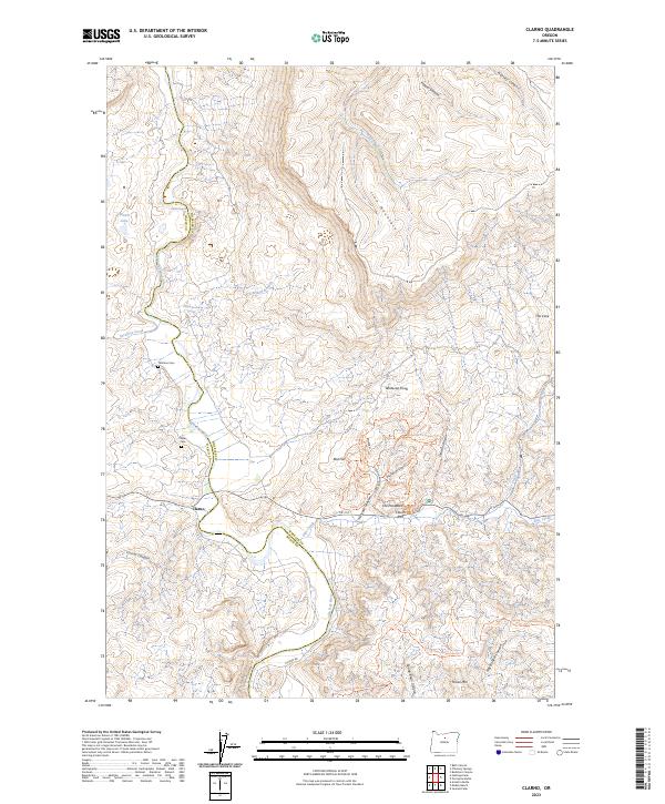
2023 Map of Clarno
USGS Topo · Published 2023About this map
John Day Wild and Scenic River carves through the volcanic history of north-central Oregon, defining the boundary between Wasco and Wheeler counties. This landscape is a center for paleontological and geological research, dominated by the John Day Fossil Beds National Monument and the Spring Basin Wilderness. The map reveals a network of educational and interpretive trails including the Hancock Pictograph Trl, Geologic Time Trl, and Rabbit Rock Trl, all surrounding the striking formations of The Palisades and Clarno Arch. Small-scale settlement is localized near Clarno, where the historical footprint is preserved at Tillotson Cem and Clarno Cem. The terrain rises sharply from the river banks toward Iron Mountain and Horse Mtn, with numerous drainage canyons like Indian Canyon and Equisetum Canyon illustrating the erosional patterns of this arid region.
Find a feature on this map
50 named features on this map. Tap any name to fly to it.
Don’t see what you’re looking for? This feature index may not catch every label — zoom into the map to look around manually.
Map Details
Editions of this 2023 Clarno Map
This is the sole edition of this map. No revisions or reprints were ever made.
Other maps of this area

1916 · Condon
USGS Topo · 1:125,000

1926 · Mitchell
USGS Topo · 1:125,000

1953 · The Dalles
USGS Topo · 1:250,000

1955 · Bend
USGS Topo · 1:250,000

1956 · The Dalles
USGS Topo · 1:250,000

1957 · Bend
USGS Topo · 1:250,000

1957 · The Dalles
USGS Topo · 1:250,000

1958 · Bend
USGS Topo · 1:250,000

1966 · Antelope
USGS Topo · 1:62,500

1966 · Clarno
USGS Topo · 1:62,500